

Where to park in Cedar Grove, what the path does through the village, and how far it is to Belgium, Oostburg and the dunes.
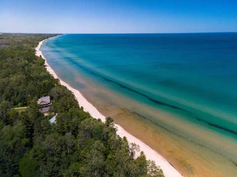
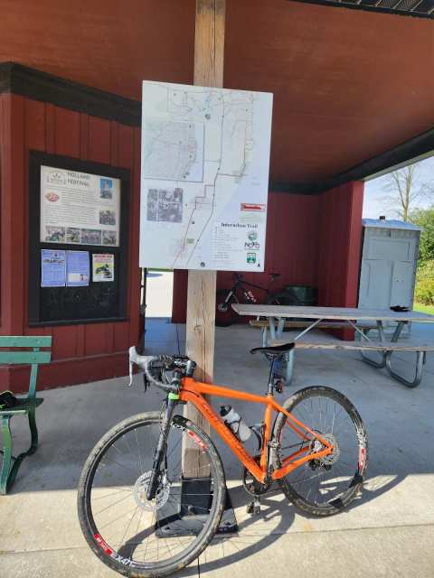
Halfway up the Lake Michigan shore between Port Washington and Sheboygan, the Sheboygan Interurban Trail runs through Cedar Grove on the route of an old electric railway. Sheboygan County puts the trail at about 14 miles from the Ozaukee County line north to Sheboygan, with roughly 5.5 of them on off-road path and the rest on quiet roads. The Cedar Grove trailhead is a good place to start, with food a few blocks away and the lake within reach.
The Cedar Grove trailhead
Start from the trailhead car park on the east side of the village.
Sponsored
Use of the trail is free.
Through the village
Through Cedar Grove the path crosses Main Street, follows Commerce Street and crosses Highway 32. That puts the Ugly Mugs coffee counter and Bada Bing Pizza each about a quarter mile from the trailhead.
MilwauTea, a bubble tea shop on the same stretch of Main Street, is about 0.2 mile from the lot. Time your stop, because the village cafe and pizza counter keep short hours, with Ugly Mugs closing by 4pm and Bada Bing opening in the afternoon.
South to Belgium and the Ozaukee Interurban
Ride south and the Sheboygan trail hands off to the Ozaukee Interurban Trail at the county line, and TrailLink describes the two as joined end to end. Wisconsin Bike Trails places the handoff at County Highway K.
Belgium is about 5 miles south of Cedar Grove, and the Ozaukee Interurban Trail from the Belgium end carries on south through Port Washington and Cedarburg.
North to Oostburg and Sheboygan
North of the village the trail crosses the Town of Holland to Oostburg, about 4 miles north of Cedar Grove. The on-road stretches suit confident adult riders more than young children, so plan family rides around the off-road path sections.
Sheboygan, about 14 miles north, has parks and trails from the lakeshore to farmland at the other end.
Distances from the Cedar Grove trailhead
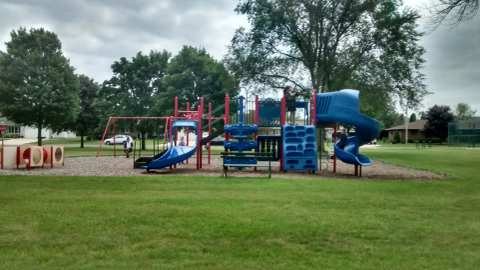
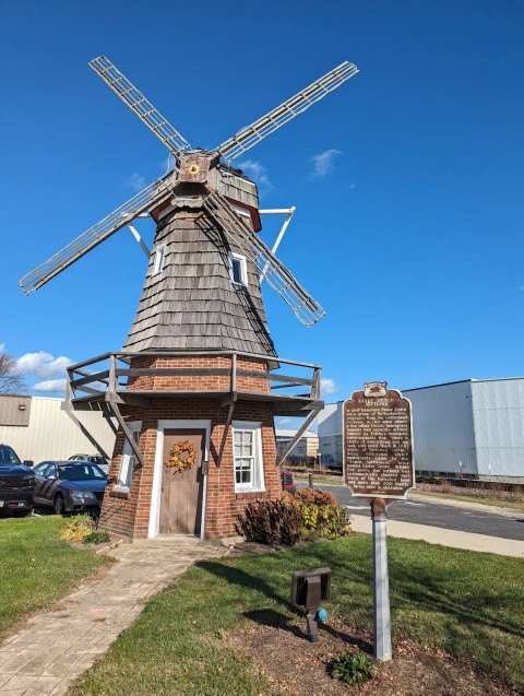
These are straight-line distances from the trailhead lot, so the ride itself runs a little longer. Memorial Park, the Holland Fest grounds, is about 0.3 mile southwest, and Historical Marker 332 on South Main Street is about the same. Independence Park, with its playground and tennis court, is about 0.6 mile southwest.
The Ozaukee Interurban Trail at Belgium is about 5.1 miles south. Kohler-Andrae State Park, where the county says about 1.5 miles of the route use the park's main road, is about 8.1 miles northeast. TrailLink runs the trail from the county line near Pebble Beach Road to Washington Avenue in Sheboygan.
The railway under the trail
The county says the route is based on the interurban railway that connected Milwaukee to Sheboygan. Electric service reached Cedar Grove and Sheboygan in September 1908. The path itself is much newer: Wikipedia dates the county line to Cedar Grove section to 2005 and the Cedar Grove to Oostburg section to 2007. Sources disagree on when the last cars ran, so treat any single closing date you read with care.
Side trips from the trail
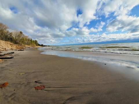
The Amsterdam Dunes Preservation Area is about 1.3 miles southeast of the trailhead, with trails through dunes and forest and a beach at the end of Amsterdam Road.
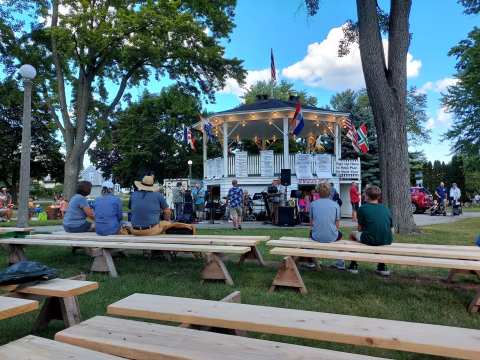
In late July the village fills up for Holland Fest, and off the bike you can book a visit to Cedar Grove's two Dutch museums any day of the week.
Before you ride
TrailLink lists the surface as asphalt. For the Ozaukee section, Travel Wisconsin lists hiking, biking, in-line skating, walking, running and cross-country skiing, but it does not cover the Sheboygan County section, so read the signs at the trailhead for winter rules here. There is no fee to use the trail.
Frequently asked questions
Published October 26, 2026