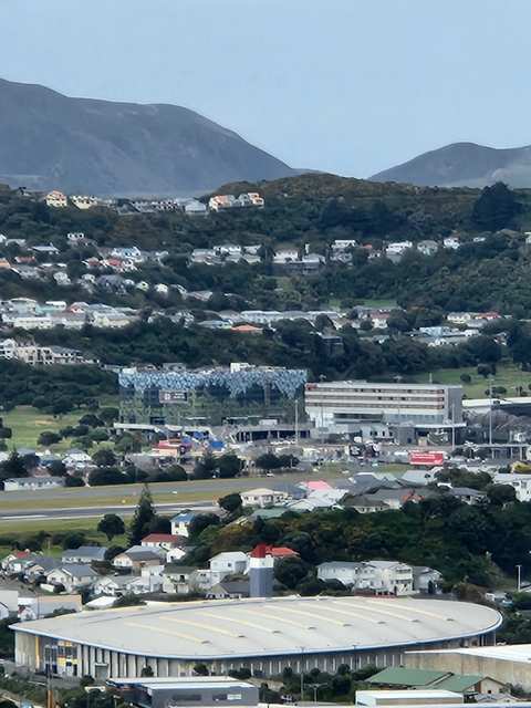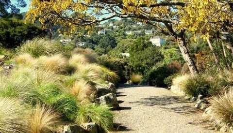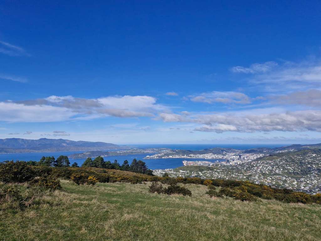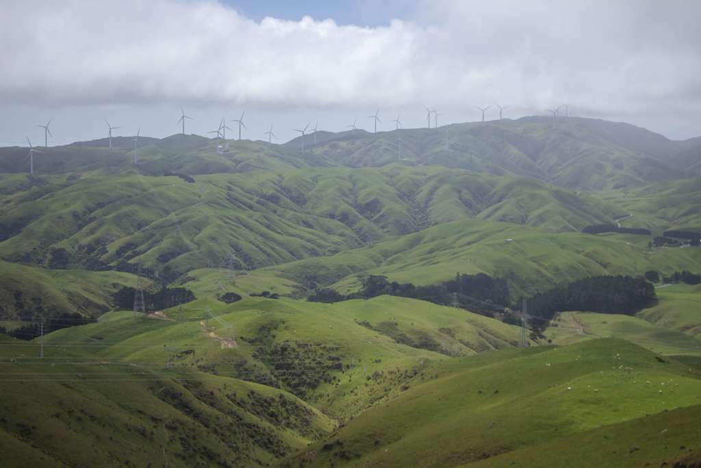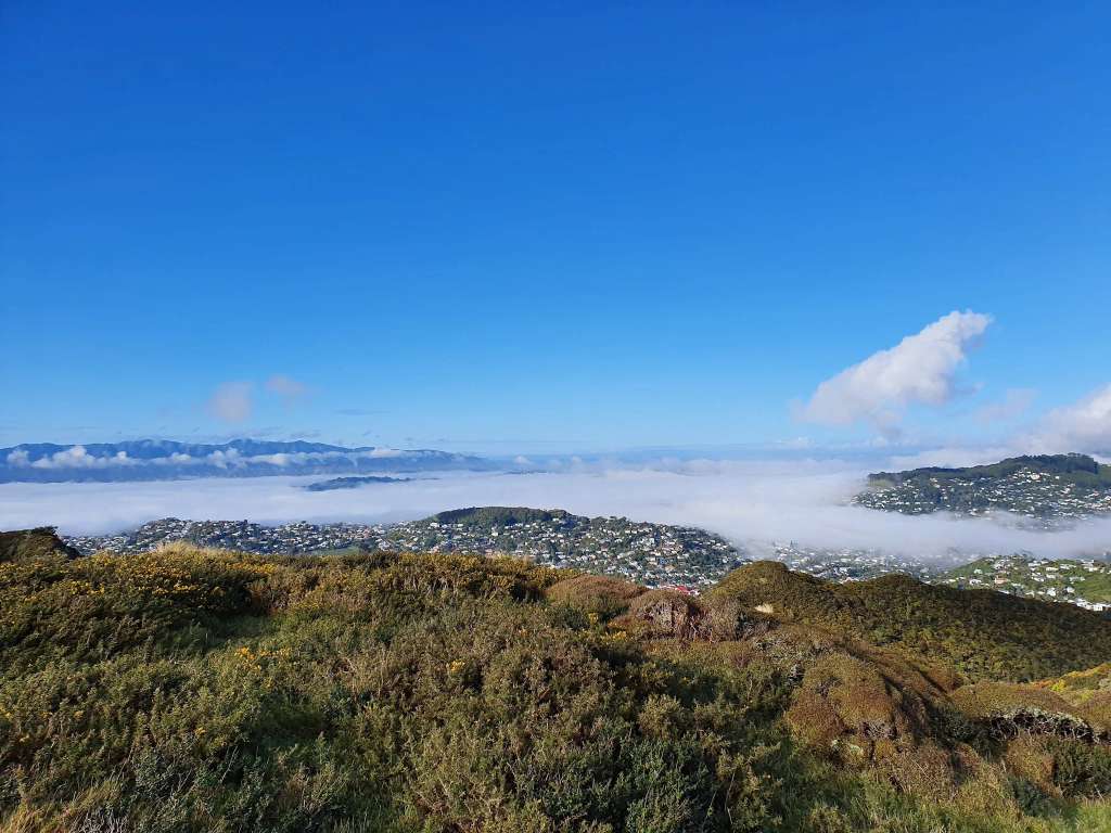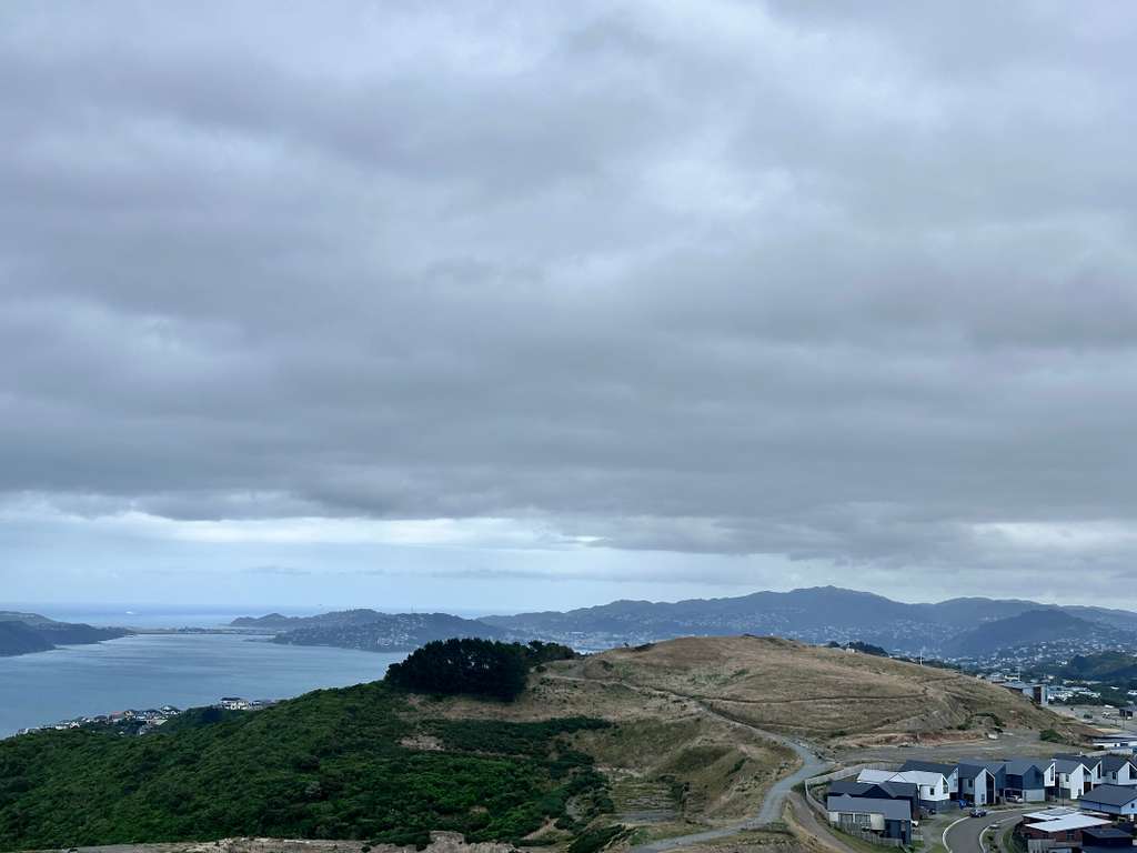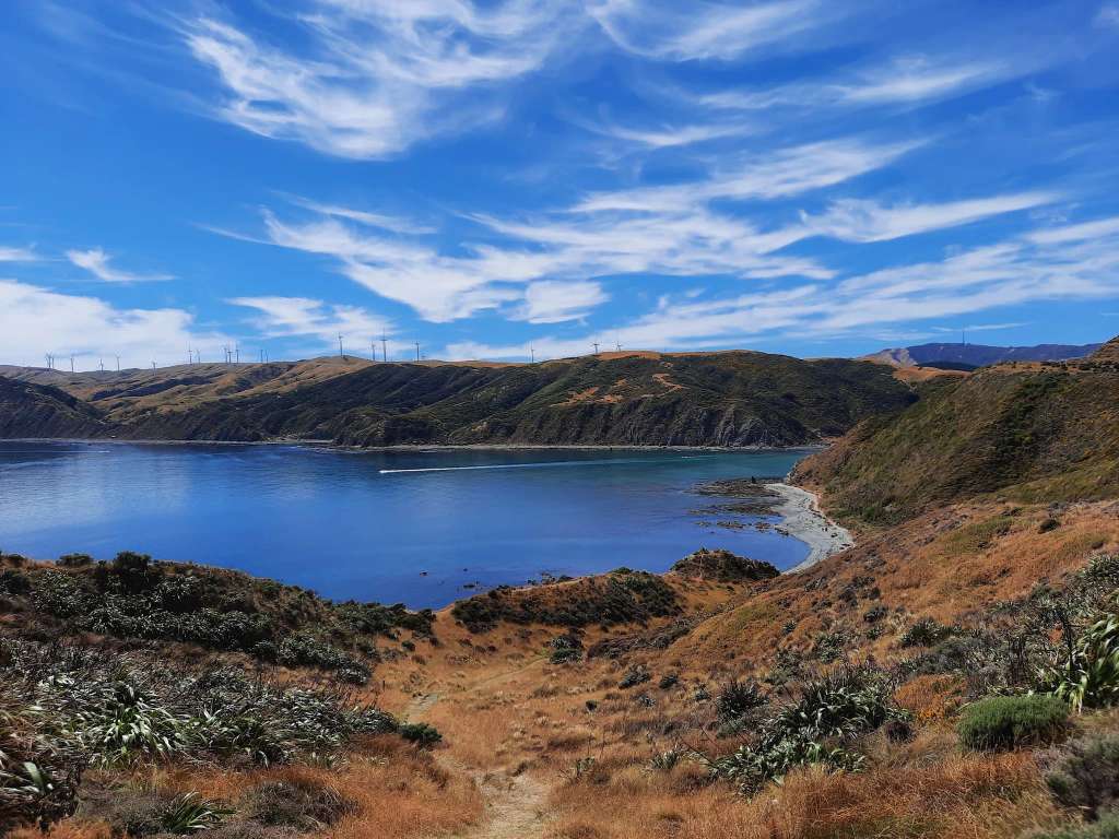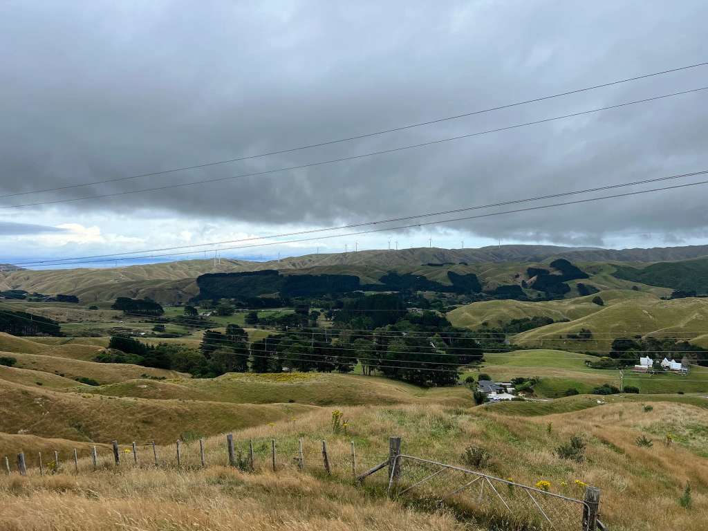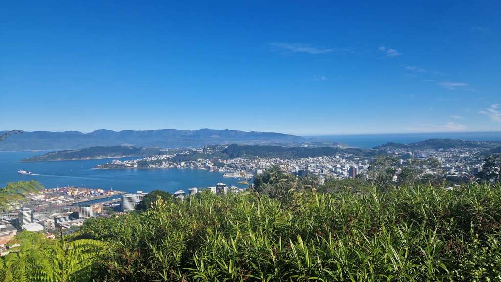



A great trail with amazing views of greater Wellington. After heavy rain, the section above Truscott Ave can be muddy and slippery. The 16Km hike from Johnsonville Park to the Cable Car, via Skyline Walkway is highly recommended.
Dual-use 18-kilometer walkway traversing Wellington's ridge tops
Skyline Walkway is a hiking area in Wellington. Our 18-kilometer walkway traverses Wellington's ridge tops, running north and south between Erlestoke Crescent in Churton Park and Makara Saddle in Karori. We offer a dual-use track that can be completed in stages, following the Outer Green Belt onto Mount Kaukau, the Crow's Nest, Kilmister Tops, and Johnston Hill.
A great trail with amazing views of greater Wellington. After heavy rain, the section above Truscott Ave can be muddy and slippery. The 16Km hike from Johnsonville Park to the Cable Car, via Skyline Walkway is highly recommended.
Can't wait to be running this track
Skyline walkway. Best views in town🤣
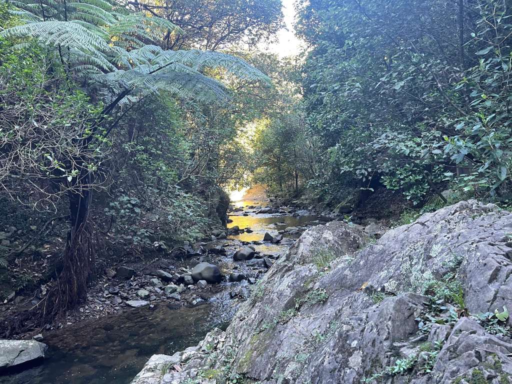
Lovely walk through the forest with amazing views of Wellington!
It a good place to walk or have family fun

While you're here
Everything local in Wellington, all in one place.

Hiking area in Wellington

Dual-use track running 18 kilometers along Wellington's ridge tops

Walk a 14.9km path through the outer Green Belt, offering views

Hiking trails and public recreation in Woodridge, Wellington

Loop walk with vantage points, gun emplacements, and beach return

Dual-use track extending 18 kilometers across Wellington ridges

Hills, stream, and native bush below Ngaio Gorge Road

Recreational opportunities across a large area of open space
Is this your business?
Reach people across town and nearby with Skyline Walkway
Claim it free to post events and updates that show up on town pages, event calendars and local recommendations — and help local and AI search find you.
Claim this listing